
Sentier Interprétation - Source de l'Ain - La promenade
Sentier Interprétation - Source de l'Ain - La promenade
Durée
Facile
-36 m 36 m
Altitude Altitude mini 678 m - Altitude maximum 708 m
Longueur 2.9km
Informations pratiques
Sentiers interprétés
Lacs, rivières et cascades
Aller-retour
Balisage :
Accès
| Départ | Parking source de l'Ain, Conte |
| Arrivée | Parking source de l'Ain, Conte |
Indications
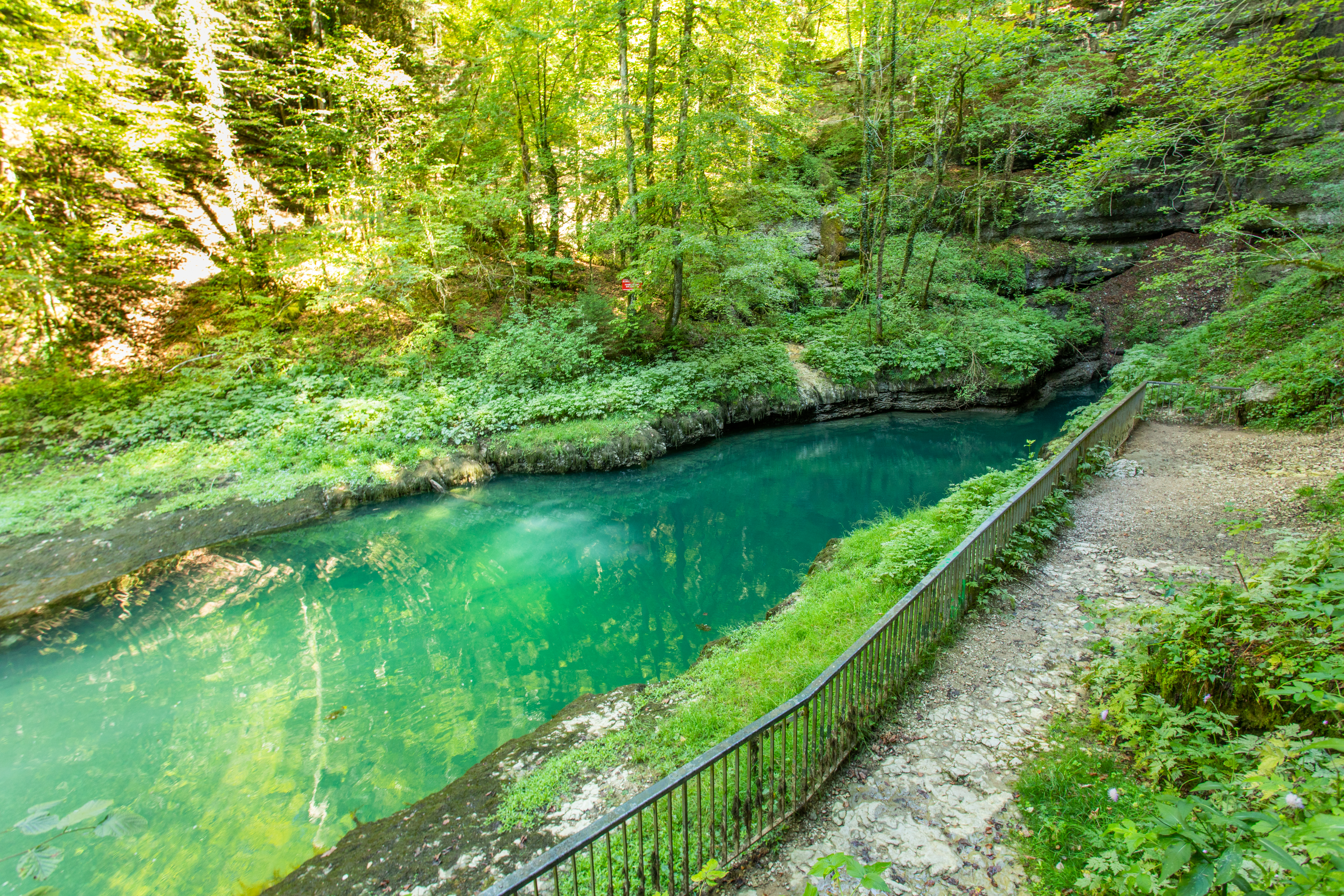
Depuis le parking côté Conte, vous déambulerez sur une route forestière qui surplombe la rivière d'Ain. L'itinéraire se fait en aller retour en suivant le balisage orange.