
Course F
Course F
Duration 3
Difficult
-762 m 762 m
Altitude Minimum altitude 667 m - Maximum altitude 888 m
Length 27.3km
Pratical information
Trail
Lakes, rivers and waterfalls
Landscapes
Loop
Markup:
Access
| Access | 11 km south of Champagnole, via the N5 to Pont de la Chaux then via the D16. |
| Recommended parking | Parking in the center of the village of Chaux-des-Crotenay |
| The start | Village center, Chaux-des-Crotenay |
| Checkin | Village center, Chaux-des-Crotenay |
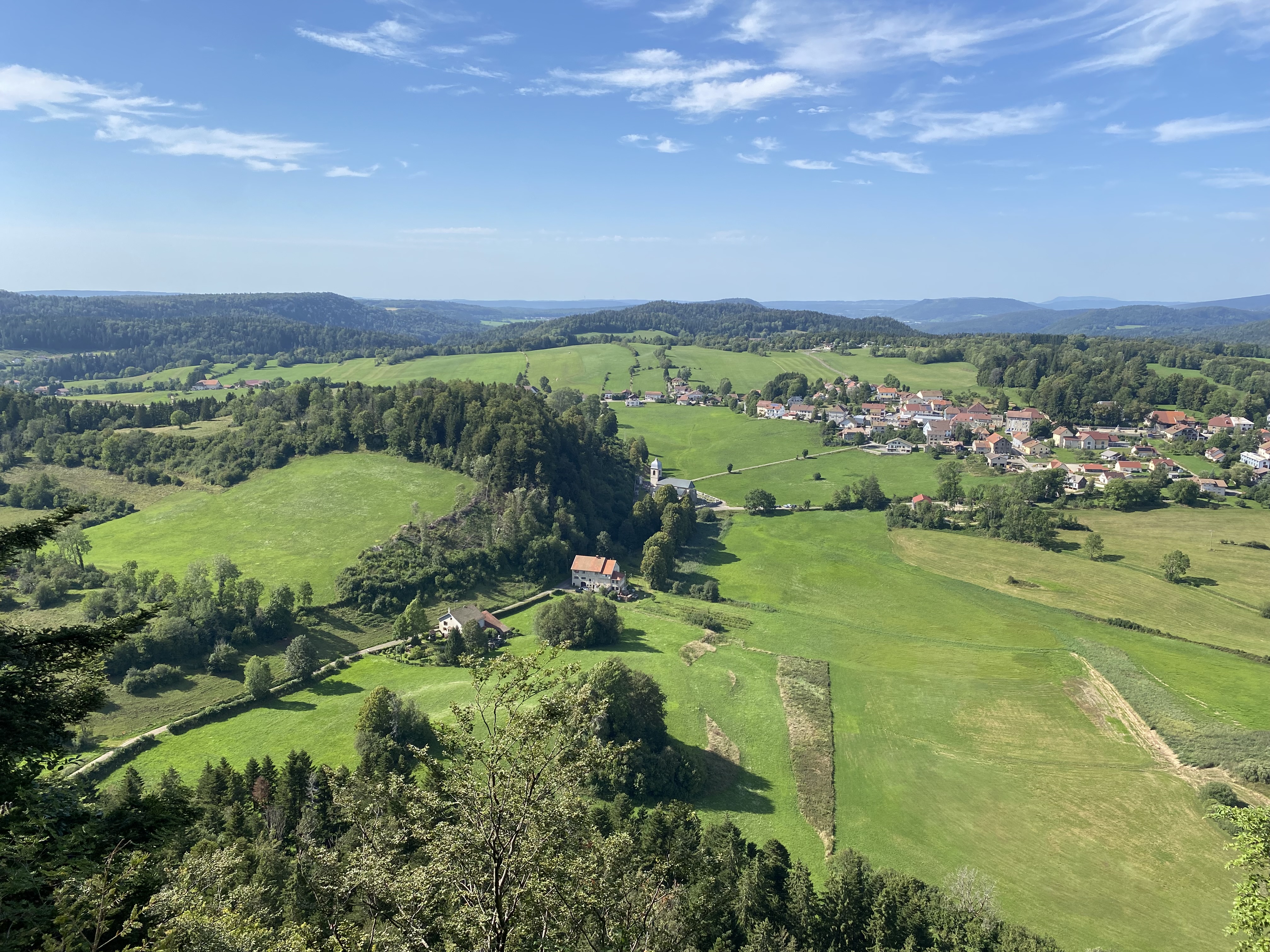
This trail route, departing from Chaux-des-Crotenay, is dotted with natural wonders. From the impressive view at the Rachet belvedere, to the charms of Planches-en-Montagne and Lac à la Dame, each kilometer of this route offers a unique experience. Follow the old “tram route” to Foncine-le-Bas, crossing tunnel and viaduct and overlooking the Malvaux gorges, before completing the loop via the majestic Montagne Ronde. This route can be combined with Route D to make a longer outing.
Indications
1. Since Chaux-des-Crotenay, take the Entre-deux-Monts road up to the post The Big Linden, then turn right and stay on this same road, passing through the New Fountain and Lime Church.
2. At theLime Church, turn right onto rue de la vie Groyot then at the end of it, stay left on the white path which goes up into the forest. HAS Les Cressets, take the path on the left which remains a little on the plateau before going back down to the Côte Coulon de la Chaux.
3. At the Côte Coulon de la Chaux, turn right onto the path which joins the post The Lemma. Continue left until The Cernois. Continue the path under the Morillon cliff to reach The Rachet and Life on the Mountain always on the edge of the forest.
4. Since Life on the Mountain, go up and back to the Rachet belvedere.
5. From the Rachet belvedere, retrace your steps to the post Life on the Mountain then resume your path along the edge of the forest until Col de Gyps. Go down the Route des Gyps to the post The Stamps. Turn right onto the white path which leads to the Entre-deux-Monts Town Hall.
6. Since Entre-deux-Monts Town Hall, cross the Quenot at the level ofDrillettes Pond. Take the path on the left up to the Drillettes then stay on the path at the edge of the forest until Under Grateloux. Cross the D16 and take the Foncine road for 300 meters to the post The Girod.
7. To Le Girod, leave the route de Foncine by taking rue du château d'eau on the right. At the end of it, take the white path which leads to the D127 at the post Malvaux. Cross the D127 and climb the path which leads to Lady Lake by the Mont de la Chèvre.
8. To Lady Lake, continue straight on the road and cut the D62 to reach the post The Fumeys. Continue on the white path which goes down to Foncine-le-Bas.
9. To Foncine-le-Bas, join the Champ de Mars and cross it Douanets Viaduct (possibility of recovering the trail D route here). Turn left onto the old railway line of the Tram'Jurassienne which runs along the Saine at the bottom of the Malvaux gorges. Cross the tunnel and the bridge above the Ruin Reach to reach the post Under the Bayard.
10. Under the Bayard, leave the old railway line to find a path along the Saine river. Join the post Fumey Badoz Factory Canal and The Laundrette Les Planches-en-Montagne. Take Ruelle du Moulin then the Langouette gorges path. Enjoy this impressive natural site and join the road at the post The Martinet.
11. Since The Martinet, take the road to the hamlet of Montliboz. Turn right onto Chemin de la montagne Ronde which quickly turns into a white path. Go around the Round Mountain and reach the post Behind the Round Mountain.
12. Behind the Round Mountain, take the path which runs along the D16 sharply to the right until you reach At Tatet. Go back up Route des Combes and cross the D16 to take Rue des Vignes and reach the post Big Linden. Return to the starting point at Chaux-des-Crotenay.