
Course E
Course E
Duration 1.5
Medium
-253 m 254 m
Altitude Minimum altitude 688 m - Maximum altitude 793 m
Length 9.7km
Pratical information
Trail
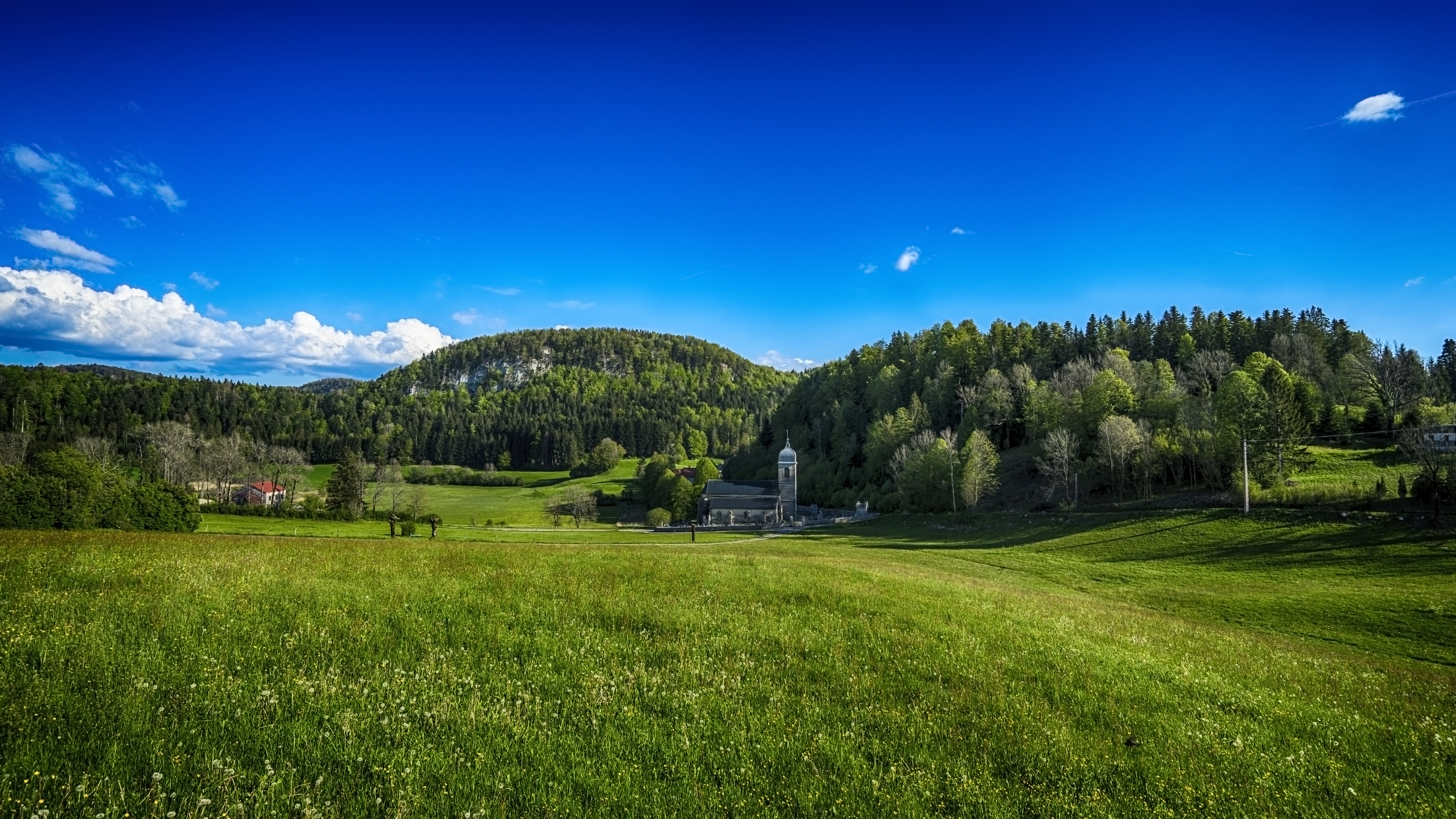
Landscapes
Loop
Markup:
Access
| Access | 11 km south of Champagnole, via the N5 to Pont de la Chaux then via the D16. |
| Recommended parking | Parking in the center of the village of Chaux-des-Crotenay |
| The start | Village center, Chaux-des-Crotenay |
| Checkin | Village center, Chaux-des-Crotenay |
It's a rather forested route but you won't find the time long. Several belvederes and geological curiosities such as the Perchettes lake, the Sapin Président or the Prés Grillet and À Taiclet belvederes will enhance this tour.
Indications
1. Departing from Chaux-des-Crotenay From the main street, turn left onto the quarry path which quickly transforms into a fairly flat white path, allowing you to warm up and enjoy the view of the Haute-Joux massif. Pass the post The Rising Fields to join The career, then continue on the Cornu forest road until The Sacred Way.
2. From the post The Sacred Way, continue for 150 meters the Cornu forest road, which gently penetrates into the forest, then take a small single track on the left which joins the Cornu forest road before entering the forest again to reach the Foyard In Taiclet.
3. Continue the small single track on the balcony allowing you to see the À Taiclet and Prés Grillet lookouts (20 meters round trip) which overlook the Saine valley.
4. To Les Prés Grillet, leave the Cornu forest road to take a single track which passes in front of the Grande Cheminée, an atypical geological curiosity, before reaching the post President Fir next to the Perchettes lake. Join the Cornu forest road at the post Large Fireplace after a nice climb.
5. Since Large Fireplace, continue on a small path until the Messaging then continue to the hamlet of Horned.
6. Since Horned, go up a municipal road to reach the top of the village and its Bois Joli campsite. From the post Dogwood, the return is via the small municipal road to the center of the village.