
Course D
Course D
Duration 3
Difficult
-845 m 845 m
Altitude Minimum altitude 783 m - Maximum altitude 1133 m
Length 24.5km
Pratical information
Trail
Lakes, rivers and waterfalls
Landscapes
Loop
Markup:
Access
| Access | From Champagnole, follow the direction of Foncine-le-Haut taking the N5 then the D16 and the D127 to Foncine-le-Bas. Then take the D437 towards Mouthe and join Foncine-le-Haut. |
| Recommended parking | Parking near the Tourist Office |
| The start | Tourist Office, Foncine-le-Haut |
| Checkin | Tourist Office, Foncine-le-Haut |
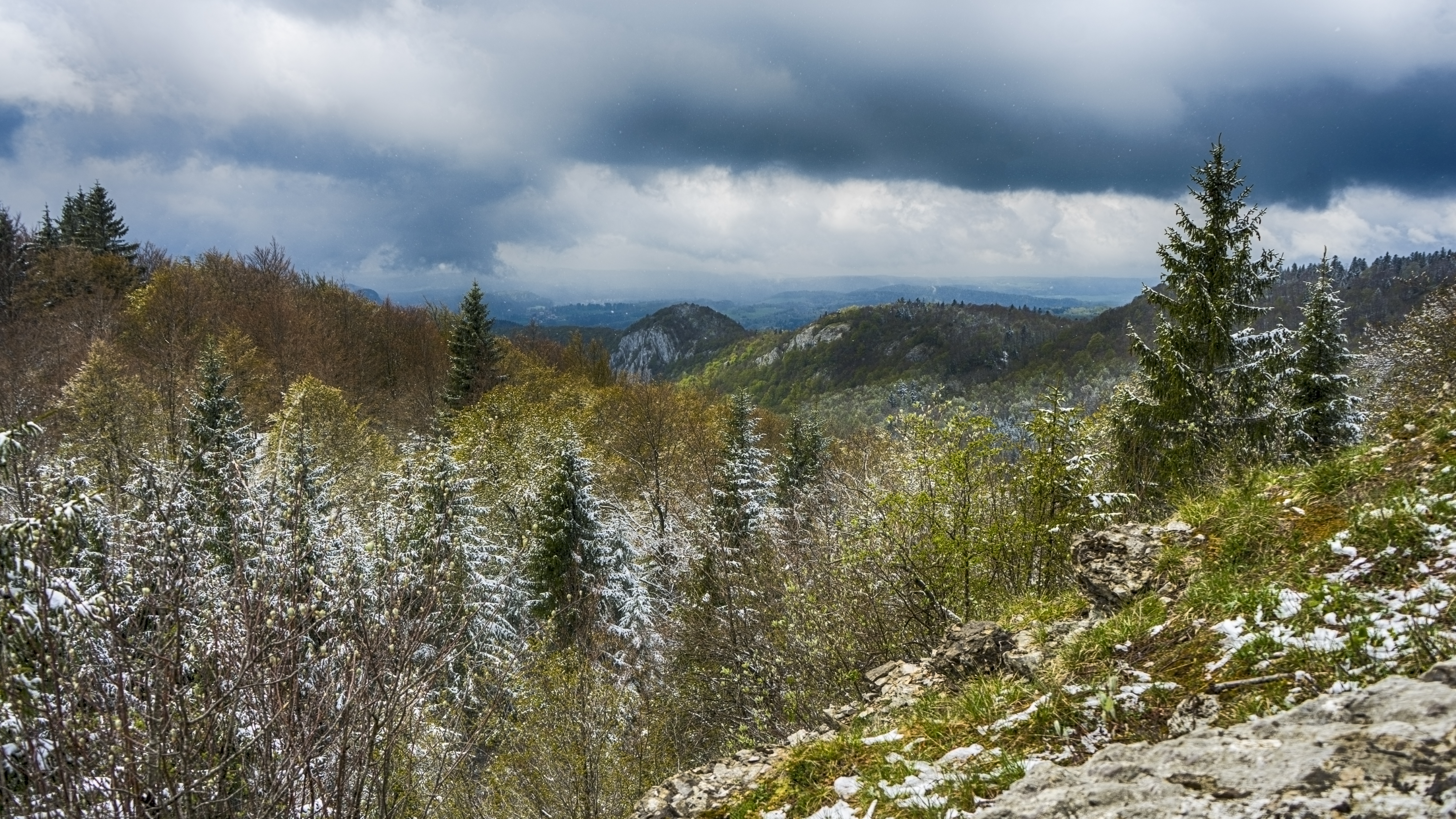
A wild route which, after the source of the Saine, will take you into the valley of Entrecôtes passing by the Bulay belvedere. You will then visit the Ruine reach and its preserved sector as far as Foncine-le-Bas. The return to Foncine-le-Haut will be via forest and pasture paths. This route can be combined with Route F if you want to do a long outing.
Indications
1. Since Foncine-le-Haut - Village, head towards the source of the Saine, going up through the pastures along the Saine. Pass the posts At Vallet and Bayard pasture to join the Source of the Healthy, remarkable natural site.
2. At the Source of the Healthy, retrace your steps and Bayard pasture, take the path on the left to reach Under the Bayard. Take the path between the 2 buildings to reach the Roman life. Continue the path opposite at the edge of the forest to reach Le Croz and cross the wood to reach the post Plain of Sters.
3. At the Plaine des Sters, continue the path for 200 meters, then take a path on the left that climbs through the forest to reach the refuge Arboux.
4. To Arboux, continue on the path which runs alongside the road, then find it again to go up to the Bulay Belvedere.
5. To Bulay Belvedere, go back down to Col du Bulay and continue on the path to reach the Entre Côtes stream and the Cascade des Orpailleurs at the post The Gold Mine. Follow the path that follows the stream to go up to the Paradis and his refuge.
6. To Paradis, go up the big white path to the Col du Revers des Ruins. Follow the ridge until Bayard Coast then take the path on the left that leads to Belvedere of Roche Fendue.
7. Since Belvedere of Roche Fendue, join La Combette aux Loups through the forest, then take the road on the left to reach Bayard. Continue going down the road until you reach Rue des Caches then cut the bends in the road to the pole At Rutillet. Cross the pastures to reach The Town of Ruins and The ruins.
8. To Ruins, cross the village until Pass Road and continue crossing the Ruins Pastures to join the Reach of Ruin and its superb ephemeral waterfall (which only exists in the event of heavy rainfall or melting snow). Return trip possible to its source.
9. To Reach of Ruin, go down the path to join the old railway line at the post Tram'Jurassienne. Continue on this old path until Douanets Viaduct, then go back up the road to Les Douanets, before going back down the path which crosses the Saine river and joining the D437 at the post On the Mill.
10. Cross the departmental road to reach The Great Fields, then turn left onto Chemin de la Combe Maria up to the post The Abbatets. Stay on the path on the left until you reach La Chevry.
11. Cross the village, the Saine river then the D437 departmental road to reach the Chemin de St Roch. Continue along the river to reach the Bottom of town from Foncine-le-Haut then the post Life in Gayet.
12. Cross the main street to reach the Moulin Choudet then cross the Thiémont Bridge.
13. At the bridge, take the 2nd path on the right towards Chemin des Petetins then turn left into the forest to reach the supermarket and the pole The Isles. Cross the Saine and reach the starting point at Foncine-le-Haut - Village.