
Course B
Course B
Duration 0.5
Easy-to-use
-126 m 126 m
Altitude Minimum altitude 857 m - Maximum altitude 941 m
Length 4km
Pratical information
Trail
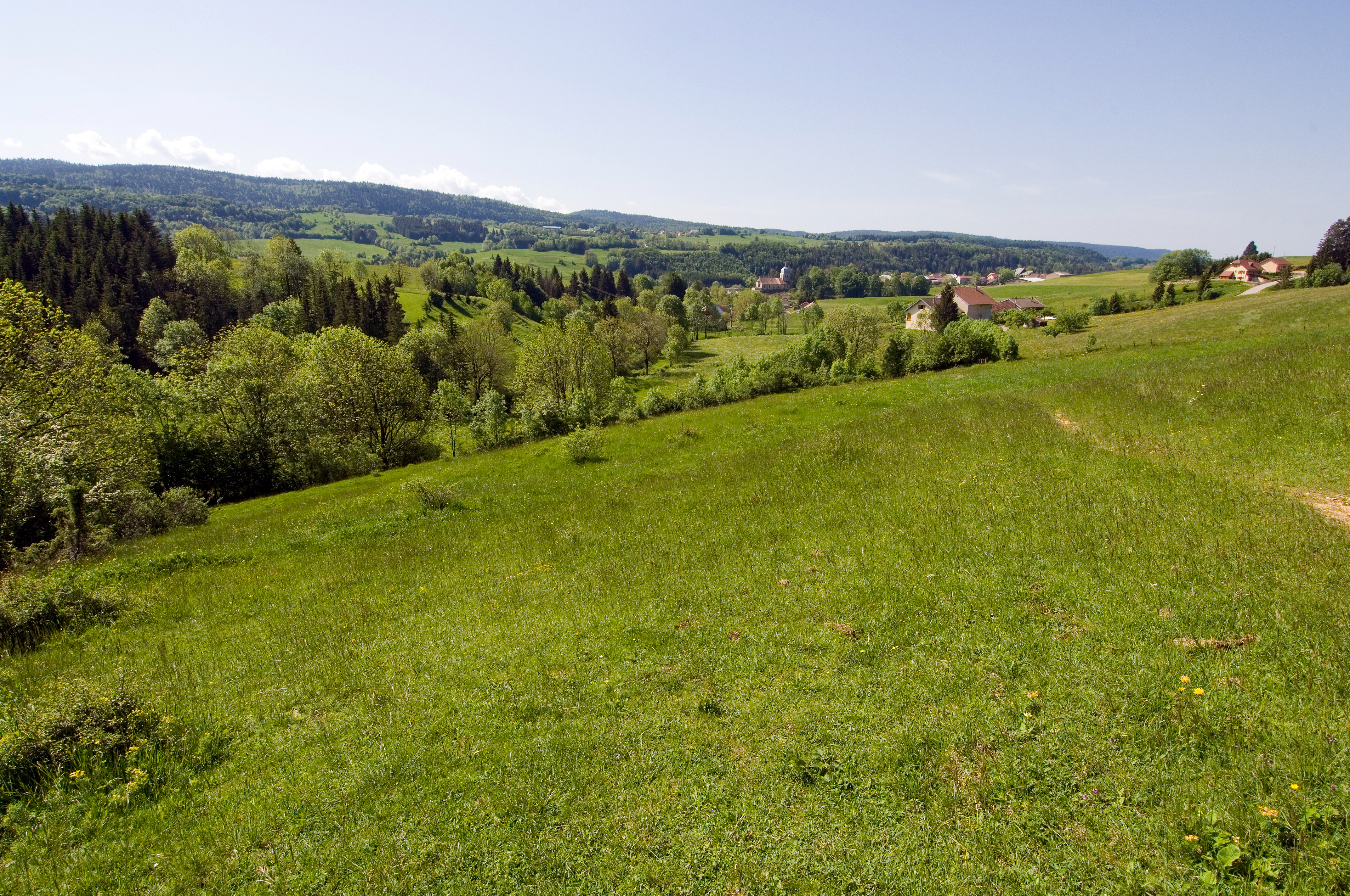
Landscapes
Loop
Markup:
Access
| Access | From Champagnole, follow the direction of Foncine-le-Haut taking the N5 then the D127 to Foncine-le-Bas. Then take the D437 towards Mouthe and join Foncine-le-Haut. |
| Recommended parking | Parking near the Tourist Office |
| The start | Tourist Office, Foncine-le-Haut |
| Checkin | Tourist Office, Foncine-le-Haut |
Set out flat along the Saine river, before following the Foncine-le-Haut fitness trail on a pretty path. Then finish by going down the Stations of the Cross offering a beautiful view of the village.
Indications
1. At the start of the post Foncine-le-Haut - Village, head towards the post The Isles crossing the Saine on a footbridge.
2. Since The Isles, go flat along the Saine on a small path to reach the Thiémont Bridge.
3. At the bridge, take the 2nd path on the left continuing along the Saine river, to follow the village health trail on a path joining the Chemin des Petetins.
4. Join Villeneuve, then continue straight ahead to go down the Stations of the Cross (view of the village) until you reach The Chazal.
5. Since The Chazal, cross the road to reach the Chemin de la Combe Noiret, then the center of Foncine-le-Haut.