
La Bourre
La Bourre
Duration
Easy-to-use
-103 m 103 m
Altitude Minimum altitude 1013 m - Maximum altitude 1079 m
Length 3.8km
Pratical information
Hiking
Landscapes
Forests
Loop
Markup:
Access
| The start | Chalet de la Bourre |
| Checkin | Chalet de la Bourre |
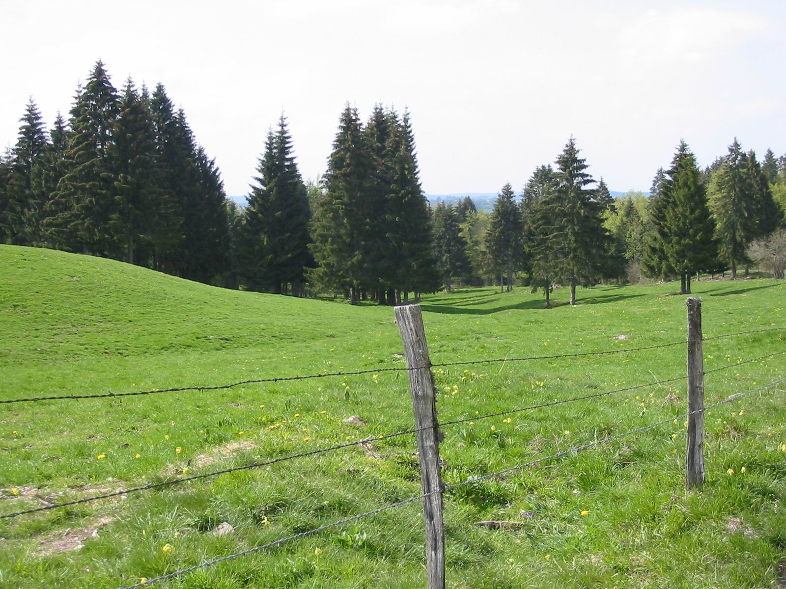
A circuit to discover one of the particularities of the Haute-Joux massif: the Combe Noire, one of the last remaining valleys where the altitude and cold temperatures all year round allow specific vegetation to develop, typical of the regions of Europe. of the Great East like the pines with hooks...
Indications
Leave in the direction of the place called Behind the Chalet (due east via the GRPJ). Here the magnificent site of Combe Noire opens to your eyes (one of the most beautiful and mysterious combes in Haute-Joux with its atypical vegetation such as pines).
Cross this valley by Combe Noire Great Plain et Combe Noire Petite Plaine to return from Combe du Thou, via the PR to your starting point.
The Bourre site is also a gateway to the Haute-Joux Nordic area (cross-country skiing, snowshoeing, tobogganing, etc.).
It is also a crossing point of the GR de Pays, which will allow you to reach the villages of Cerniébaud or Mignovillard.
Hike n°3 of the CNJ Tourisme walking guide.