
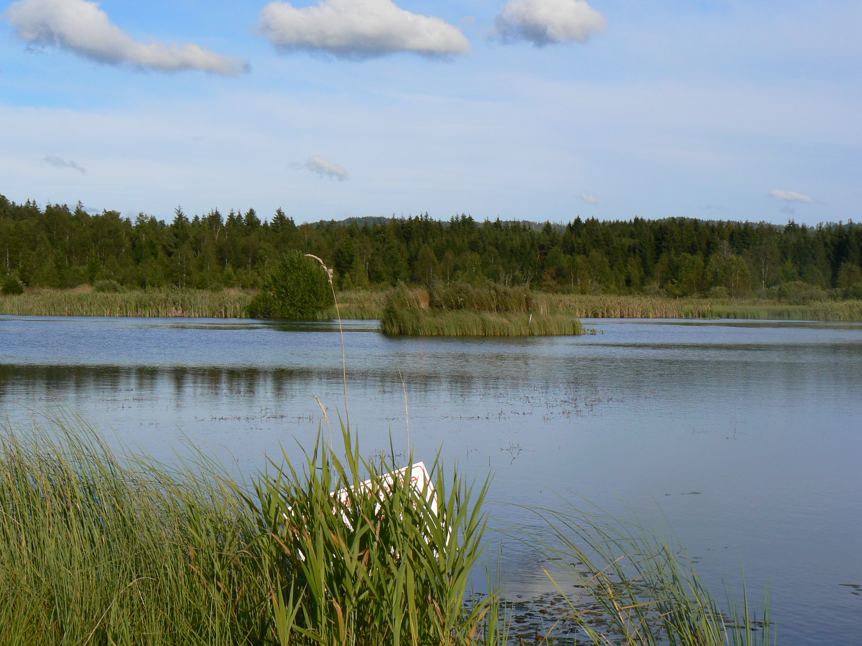
Square Fountain
Square Fountain
Duration
Medium
-116 m 116 m
Altitude Minimum altitude 827 m - Maximum altitude 883 m
Length 9.1km
Pratical information
Hiking
Flora and fauna
Loop
Markup:
Access
| The start | Mignovillard town hall |
| Checkin | Mignovillard town hall |
A circuit to discover the surroundings of Mignovillard with its communal pastures marked by the presence of numerous hedges.
GR de Pays possible to reach Frasne, Censeau or even the Chalet de la Bourre.
GR de Pays possible to reach Frasne, Censeau or even the Chalet de la Bourre.
Indications
Follow the GR de Pays towards La Bourre until you reach Les Combes Tops, leave the GR de Pays to join coldfontaine with its two Tertiary ogival style stone crosses dating from the beginning of the XNUMXth century.
Continue to Little Villard, passing in front of the pond, the Moulin du Martinet (place of flour factory still in activity).
After a short climb, admire the view of the Prince forest, the Saint-Sorlin (1237 m) and the Bulay signal (1139 m).
Once at Little Villard, return directly via the GR de Pays or finish the circuit via the Mont Poncenier and Square Fountain (next to the pond of the same name).
Return to Mignovillard via the Big Bush et the Barbouillons.
Hike n°1 of the CNJ Tourisme walking guide.