
Pear Coast
Pear Coast
Duration
Medium
-257 m 257 m
Altitude Minimum altitude 564 m - Maximum altitude 759 m
Length 8km
Pratical information
Hiking
History and Heritage
Lakes, rivers and waterfalls
Landscapes
Loop
Markup:
Access
| The start | Bourg-de-Sirod |
| Checkin | Bourg-de-Sirod |
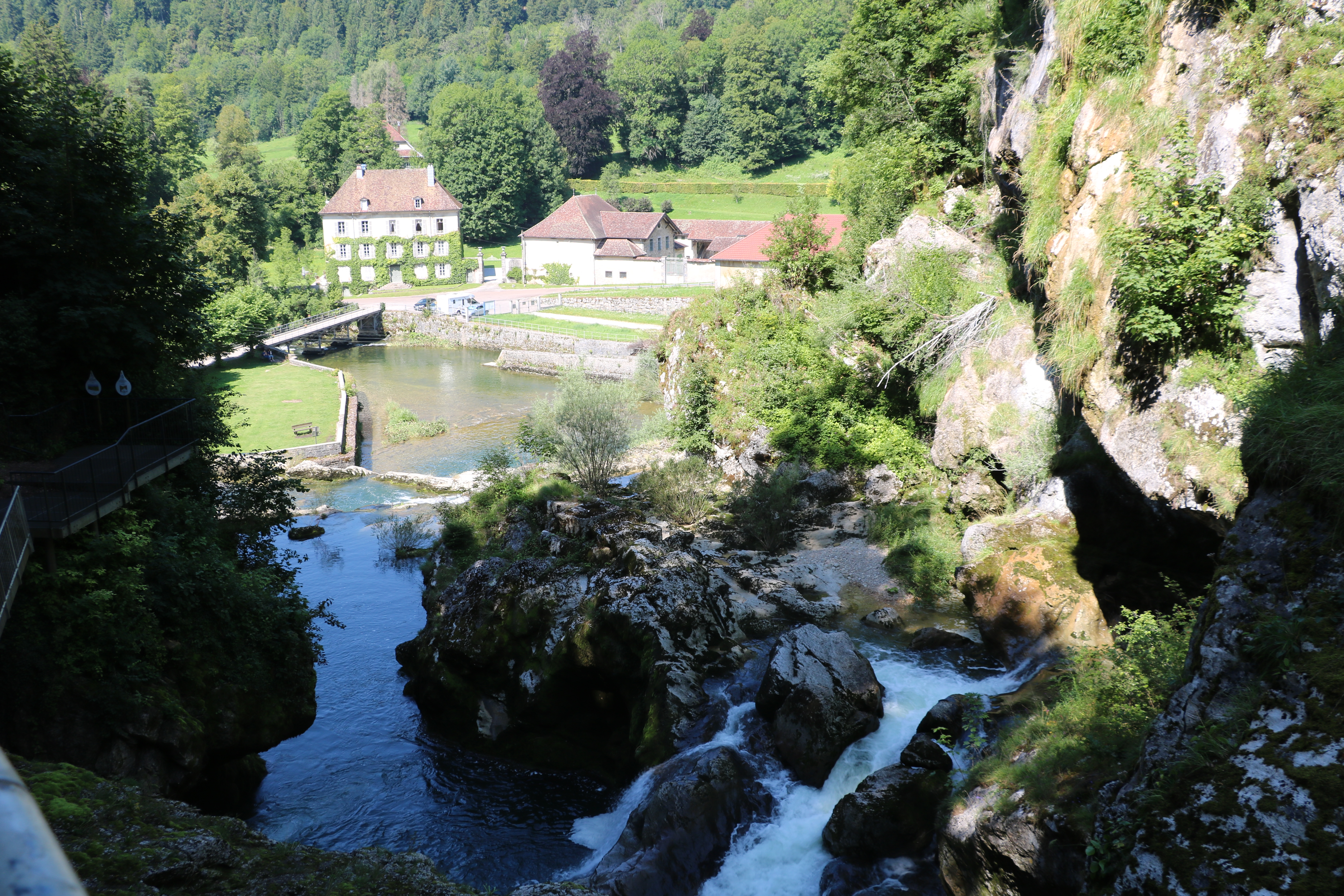
Circuit which allows you to discover some aspects of the losses of the Ain and a forest massif with some beautiful belvederes.
Indications
Take the interpretation trail of the Los Pertes de l’Ain, the Water room (reading table), follow the PR until La Passerelle (we overlook the Pertes de l’Ain and its waterfalls), continue the path towards The Tuffs by the GRP (reading tables), then take the PR path direction Le Pré Magnin who enters the forest until Pear Coast.
Discovery of several successive viewpoints where you can see the surrounding villages: Sirod and its XNUMXth century bell tower, Crans, Syam and its plain. Return to the starting point via the GRP until On the Gateway, La Passerelle, Côte Martinet and then return to the parking lot by the Water room following the PR.
Hike n°26 of the CNJ Tourisme walking guide.