
Hazelnut Path
Hazelnut Path
Duration
Medium
-144 m 144 m
Altitude Minimum altitude 863 m - Maximum altitude 936 m
Length 9.6km
Pratical information
Hiking
Flora and fauna
Forests
Loop
Markup:
Access
| The start | Mignovillard town hall |
| Checkin | Mignovillard town hall |
A circuit to discover the surroundings of Mignovillard with its communal pastures marked by the presence of numerous hedges.
GR de Pays possible to reach Frasne, Censeau or even the Chalet de la Bourre.
GR de Pays possible to reach Frasne, Censeau or even the Chalet de la Bourre.
Indications
Follow the GR de Pays, towards La Bourre, passing through Les Combes Hauts, Les Combes Bas and continue in the direction of On the Wind Turbine (view of the village of Essavilly). Further on, move on to Marshal Cross (heritage made of yellow stones from Mièges).
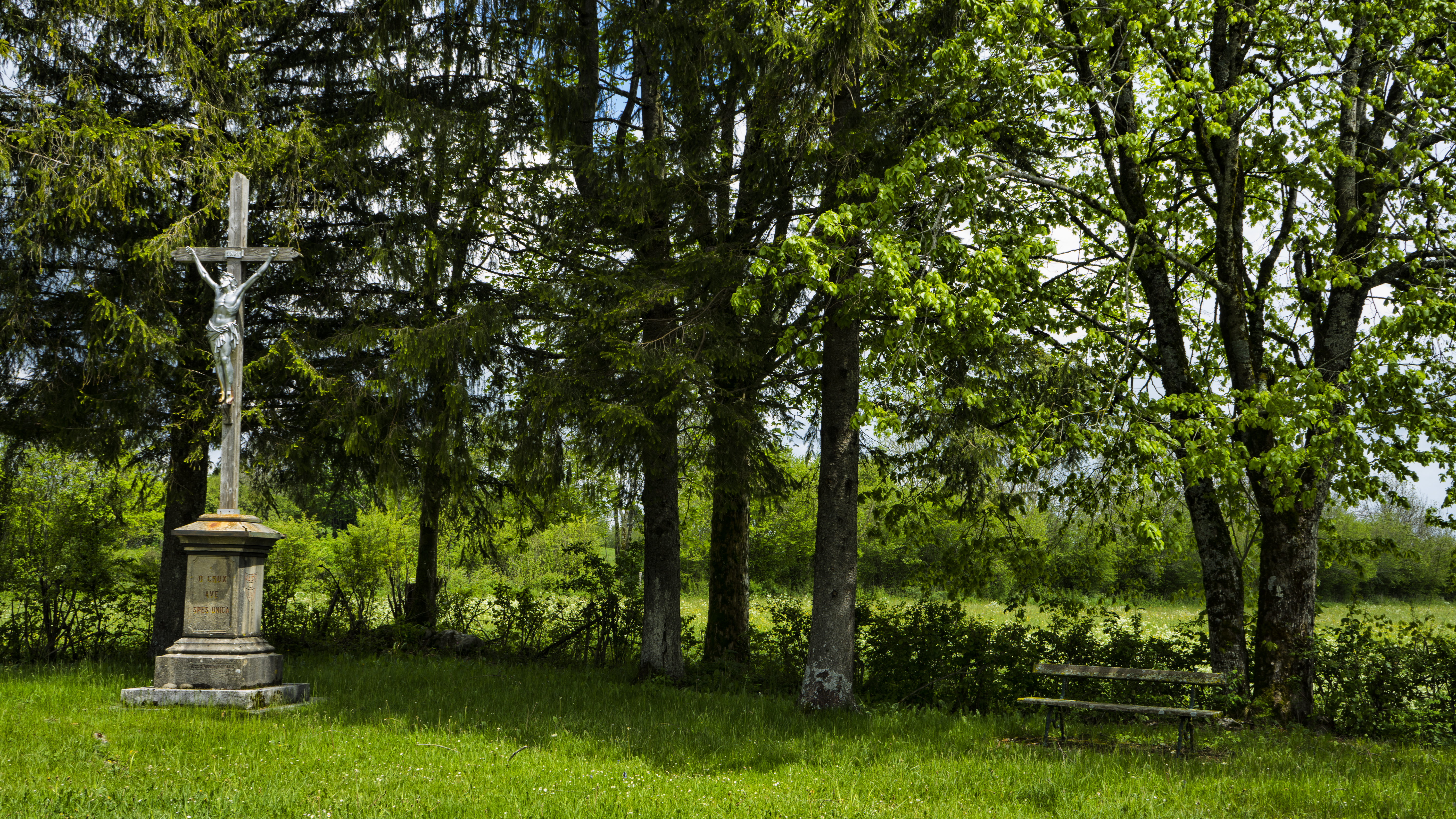
Go back and forth to the oratory of Notre Dame de Montrupt, (oratory descended from a hamlet located at the top of the hill after the departure of the last inhabitant in 1903). Then go to Fontaigneau and return to the forest. Then, at Essart Bassand, you must leave the GR de Pays.
Return to the village via forest paths and white paths passing through The Barbouillons.
Hike n°2 of the CNJ Tourisme walking guide.